
Things to Do Near Apple Valley, Utah: Mesas, Dunes, State Parks, and Dark Skies
Apple Valley sits within an hour of slickrock mesas, two reservoir state parks, a ghost town, pink sand dunes and some very dark skies. Here's what's nearby, sorted by how far you'll drive.

In this guide
- Quick list by drive time
- Right at the cabins: dark skies and petroglyphs
- Within 30 minutes: mesas, canyons and backroads
- Gooseberry, Little Creek and Wire mesas
- Smithsonian Butte Byway and Grafton ghost town
- Water Canyon near Hildale
- Hurricane: trails, town and supplies
- 30 to 45 minutes: reservoirs and Zion’s quiet corners
- Sand Hollow and Quail Creek state parks
- Kolob Terrace Road and Kolob Canyons
- About an hour: Zion, dunes and history
- Zion Canyon
- Pipe Spring National Monument
- Coral Pink Sand Dunes State Park
- Snow Canyon State Park
- A little farther: Kanab and Best Friends
- Planning tips for exploring from Apple Valley
- Make Apple Valley your base
The best things to do near Apple Valley, Utah are outdoors and close: mountain biking on Gooseberry and Little Creek mesas, hiking Water Canyon, driving the Smithsonian Butte Byway to Grafton ghost town, and lake days at Sand Hollow State Park. Zion, Kolob Canyons, Coral Pink Sand Dunes and Pipe Spring National Monument are all within about an hour. At night, the dark sky is the main event.
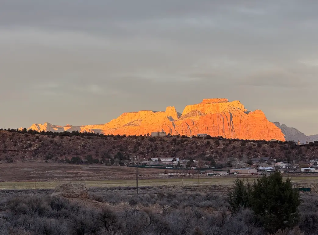
Apple Valley is a small, rural community along UT-59 east of Hurricane, with no town center to speak of. That’s the appeal. Guests at our cabins in Apple Valley tend to split their days between Zion and everything else, and “everything else” is a long list. We’ve sorted it by drive time from the cabins so you can match each idea to the time you have.
Quick list by drive time
| Drive time (about) | Things to do |
|---|---|
| 0 minutes | Stargazing, on-site petroglyph trails |
| 15–30 minutes | Gooseberry, Little Creek and Wire mesas; Water Canyon; Smithsonian Butte Byway; Hurricane and the JEM Trail |
| 30–45 minutes | Sand Hollow and Quail Creek state parks; Kolob Terrace Road; Kolob Canyons |
| 50–60 minutes | Zion Canyon; Pipe Spring National Monument; Coral Pink Sand Dunes; Snow Canyon State Park |
| 60–75 minutes | Kanab and Best Friends Animal Sanctuary |
Times are for paved roads in good weather. Several places on this list sit at the end of dirt roads, and we’ve flagged those.
Right at the cabins: dark skies and petroglyphs
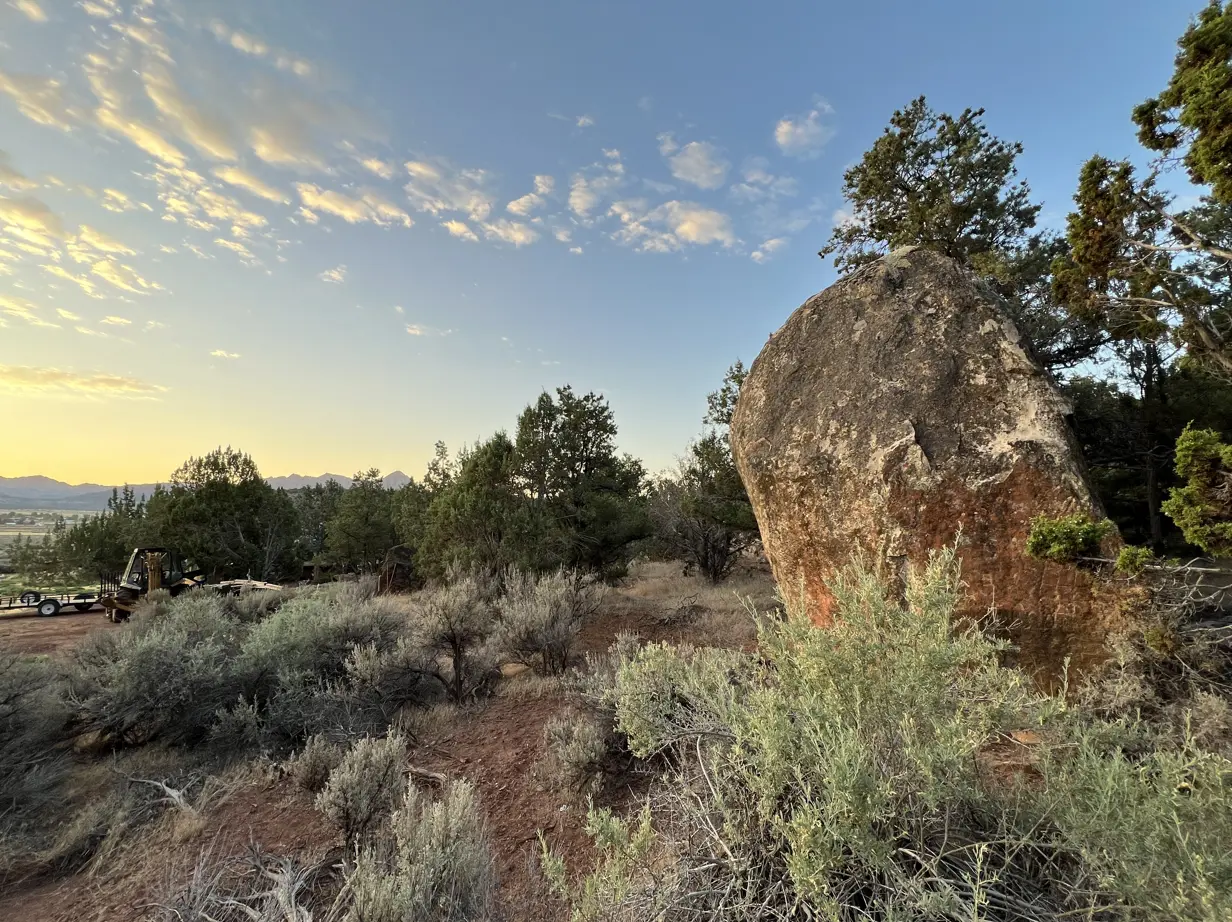
Some of the best moments here happen without the car. Apple Valley has very little light pollution, and on clear, moonless nights the Milky Way stretches right over the cabins. Plan around the new moon, give your eyes 20 minutes to adjust, and bring a layer: the desert can cool off by 30°F or more after sunset.

By day, walking trails on the property lead to Ancestral Puebloan petroglyphs. Look closely and take photos, but please don’t touch: oils from skin damage rock art that has lasted centuries. You’ll also meet the friendly goats in their fenced areas. If you want a guided night with telescopes, Stargazing Zion runs tours nearby.
Within 30 minutes: mesas, canyons and backroads
Gooseberry, Little Creek and Wire mesas
Apple Valley is close to three of the best slickrock mesas in Utah. Gooseberry Mesa is a BLM National Recreation Trail at about 5,200 feet, about 25 to 30 minutes from the cabins, with routes from the easy White Trail to the technical Big Loop. Little Creek Mesa is wilder, expert-level riding with cairn-and-dot navigation; ride it only when dry. Wire Mesa is a shorter loop with views across to Zion’s West Temple.
The access roads are unpaved and rutted, and the BLM recommends high clearance for Gooseberry. Our guide to Gooseberry Mesa road conditions has directions and wet-weather advice. Even if you don’t ride, the overlooks are worth the drive on a dry day.
Smithsonian Butte Byway and Grafton ghost town
The Smithsonian Butte National Back Country Byway is a roughly 9-mile dirt road from UT-59 near Apple Valley to Rockville, with big views of Smithsonian Butte and Zion’s skyline. Partway along is the side road to Grafton, a ghost town settled in 1861 with restored buildings set below the cliffs.
Two warnings. The byway’s steep grade down toward Grafton Road isn’t suitable for low-clearance cars, RVs or trailers, and the whole route often becomes impassable in heavy rain or winter weather. Grafton has no water, power or restrooms. If you’re in a regular car, reach Grafton from the Rockville end on a dry day, ideally on your way home from Zion: cross the one-lane Rockville Bridge on Bridge Road, then follow Grafton Road.
Water Canyon near Hildale
About 20 to 25 minutes south, near Hildale, Water Canyon is a BLM trail of about 3.2 miles rated moderate. It heads into the Canaan Mountain Wilderness. A dirt road leads to the parking area. Go early in warm months. Afterward, Water Canyon Winery in Hildale offers tastings.
Hurricane: trails, town and supplies
Hurricane is about 17 minutes west and is where most guests stock up. Beyond Lin’s Fresh Market and the Walmart Supercenter, it has a cluster of local cafes and bakeries along Main Street, bike shops, and the Hurricane Pioneer Museum at 95 S Main St (check hours before you go).
It’s also a mountain biking hub. The BLM’s Hurricane Cliffs Trail System has nearly 40 miles of beginner and intermediate riding, including the flowing JEM Trail, whose trailhead is off SR-59 about 5 miles from Main Street. Our restaurant and grocery guide covers where to eat.
30 to 45 minutes: reservoirs and Zion’s quiet corners
Sand Hollow and Quail Creek state parks
Sand Hollow State Park, about 35 minutes away, is a reservoir ringed by red sand, with a beach area and the huge Sand Mountain dune field for off-highway vehicles. Day use is about $25 per vehicle for Utah residents and $35 for non-residents, and leashed dogs are welcome. Mornings are usually the calmest time to paddle.

Quail Creek State Park, on the other side of Hurricane, is smaller and known for some of the warmest water in Utah. Day use is about $20 for residents and $25 for non-residents. The Hurricane Mountain Bike Festival is held here each spring. Fees change, so check Utah State Parks before you go.
Kolob Terrace Road and Kolob Canyons
Kolob Terrace Road starts in Virgin, about 30 minutes from the cabins, and climbs north into Zion’s backcountry toward trailheads like Hop Valley and Wildcat Canyon. Expect far fewer people than in Zion Canyon. The upper road and Lava Point usually close from fall into spring.
Kolob Canyons, Zion’s northwest section, is about 45 minutes away off I-15 at exit 40. A 5-mile scenic drive leads to Timber Creek Overlook, and the Taylor Creek trail follows a creek into the finger canyons. Your Zion pass covers it.
About an hour: Zion, dunes and history
Zion Canyon
The south entrance in Springdale is about 50 to 55 minutes away via Hurricane and UT-9. Leave early in busy months to get parked. Our Apple Valley to Zion drive guide covers routes, entrances and shuttle timing.
Pipe Spring National Monument
About an hour south through Hildale and Colorado City, across the Arizona line near Fredonia, Pipe Spring preserves a historic Mormon fort and shares the history of the Kaibab Paiute people. Entry has been $10 per person 16 and older, with interagency passes accepted, and hours are listed in Arizona time. Confirm both on the NPS website before you go.
Coral Pink Sand Dunes State Park
Coral Pink Sand Dunes, near Kanab at about 6,000 feet, is about an hour away. The pink-orange dunes are great for sandboarding and sledding (rentals are available at the park), and the entry fee is about $15 per vehicle. Summer sand gets hot enough to burn, so go early or wait for cooler months.
Snow Canyon State Park
Snow Canyon, near St. George, is about an hour away, with petrified sand dunes, lava tubes and red cliffs. All of its trails now allow leashed dogs, which makes it a favorite on our list of dog-friendly hikes near Zion.
A little farther: Kanab and Best Friends
Kanab is about 1 hour 5 minutes away, and Best Friends Animal Sanctuary is about 1 hour 15 minutes. Both pair well with Coral Pink Sand Dunes for a full day on the east side.
Planning tips for exploring from Apple Valley
- Mix close and far days. A Zion day, then a mesa or Sand Hollow day, keeps the driving reasonable.
- Respect dirt roads. Gooseberry, Little Creek, the Smithsonian Butte Byway and Water Canyon all use unpaved roads that can be rutted or impassable when wet. Check rental car rules too.
- Carry water. Most trailheads out here have none.
- Mind the heat. From June through August, do your hiking and riding early and save midday for the water.
- Keep dogs leashed and cool. Biological soil crust, rattlesnakes and hot slickrock are all reasons to stay on the trail.
Make Apple Valley your base
Three days of slickrock, a Zion trip with a few quiet side trips, or a long weekend by the fire watching the stars come out: Apple Valley puts all of it within reach. Our four cabins have fire pits with free firewood, hot tubs and fast Wi-Fi. Check availability and book direct.
Frequently asked questions
What is there to do in Apple Valley, Utah?
How far is Apple Valley, Utah from Zion National Park?
Is Grafton ghost town worth visiting?
What state parks are near Apple Valley, Utah?
Is Apple Valley, Utah good for stargazing?

About the authors
This guide comes from the team at Anasazi Cliffs Lodging, four private desert cabins in Apple Valley, Utah, run by local hosts Robert and Maria. We help guests plan Zion, Gooseberry Mesa and Southern Utah days every week, and we update these guides when rules and conditions change.


